
Have you ever wondered, “Do skies have roads too? Can’t planes just fly anywhere?” It’s a common question many of us have asked at some point. The sky seems vast and limitless, so why can’t aircraft just take any route they want? While it may seem unrealistic, the truth is quite the opposite. Air traffic management ensures that flights follow specific pathways, preventing accidents and allowing for the smooth movement of aircraft around the world. Let’s take a closer look at what air traffic is and how it works to keep our skies safe.
What is Air Traffic Management?
Air traffic management (ATM) is a vital part of aviation that keeps planes flying safely and efficiently. It involves the coordination of aircraft movements in the sky and on the ground. From takeoff to landing, every flight is carefully monitored to prevent collisions and ensure it reaches its destination safely.
In regions with varied terrain, like Nepal, air traffic control becomes even more critical. The country’s mountainous landscape means that aircraft must navigate through challenging routes. If you’re nervous about flying, understanding how air traffic is managed can help ease your anxiety, as it shows just how carefully controlled and safe air travel is.
How Does Air Traffic Work?
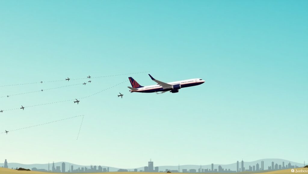
Think of the sky as being divided into a network of invisible pathways—kind of like highways in the air. Air traffic controllers (ATCs) on the ground guide pilots along these paths, just like traffic police direct vehicles on the road. These controllers monitor each flight, ensuring that planes stay on course, avoid potential hazards, and arrive at their destinations safely.
Every airport has a control tower staffed by experienced ATCs who communicate with pilots and provide real-time guidance. This system ensures that flights remain well-separated from one another, preventing any collisions. With ATCs directing aircraft, there’s a well-organized flow of air traffic, ensuring safety and minimizing delays.
The Unique Challenges of Nepal’s Airspace
Nepal’s airspace presents distinct challenges for air traffic management due to its mountainous terrain and unpredictable weather. Home to Mount Everest and many other towering peaks, the country’s flight paths must be carefully planned to avoid obstacles. Additionally, airports in high-altitude locations like Lukla and Jomsom require pilots to undergo specialized training to navigate through these tough environments safely.
Weather conditions in Nepal can also be extreme, with everything from monsoon rains to heavy snowfalls. These weather changes can affect visibility and flight safety. On cloudy days, pilots rely heavily on their instruments and guidance from air traffic controllers to stay on track and reach their destinations without incident.
Air Traffic Control in Nepal
In Nepal, air traffic control is managed by the Civil Aviation Authority of Nepal (CAAN). In high-traffic areas like Tribhuvan International Airport (TIA) in Kathmandu, ATCs work tirelessly to ensure that every flight is safely coordinated. Their primary responsibilities include maintaining safe distances between aircraft, providing navigation assistance, and managing air traffic flow.
Particularly in Nepal’s mountainous regions, ATCs help pilots navigate through complex airspace, directing flights to avoid hazards and ensuring that all aircraft follow the safest and most efficient routes. By effectively regulating air traffic, ATCs minimize delays and maximize the use of available airspace.
Advances in Nepal’s Air Traffic Management
In recent years, Nepal has made significant strides in improving its air traffic management systems. One major development is the introduction of advanced radar and surveillance technologies. These systems allow air traffic controllers to track aircraft with greater accuracy, providing real-time information about their positions and improving overall safety.
Communication between pilots and ATCs has also improved. Enhanced communication systems ensure that pilots receive clear and accurate instructions, which is crucial for maintaining safety, especially in Nepal’s challenging terrain. Additionally, the introduction of satellite-based navigation systems allows pilots to follow precise flight paths, reducing the risk of errors during navigation.
Domestic airlines, like Buddha Air, have also adapted to the specific needs of Nepal’s airspace. Buddha Air incorporates Flight Panel Training (FTP) with direct ATC communication, helping pilots prepare for the unique challenges of flying in Nepal. This proactive approach to training further enhances flight safety.
However, there is still work to be done. For instance, while TIA is one of the most advanced airports in terms of air traffic management, the runway was built many years ago. As the volume of air traffic continues to grow, there’s a need for significant infrastructure upgrades to ensure better management of flights.
Conclusion
Understanding air traffic in Nepal requires an appreciation of the country’s unique natural challenges, such as its geography, weather, and topography. But it also involves recognizing the technological advancements and systems in place to ensure air traffic flows smoothly and safely. The efforts of the Civil Aviation Authority of Nepal (CAAN), along with ongoing investments in air traffic management technology, play a crucial role in maintaining the safety and efficiency of the Nepali aviation sector. As air traffic systems continue to evolve, flying in Nepal will remain as safe as it is breathtaking.